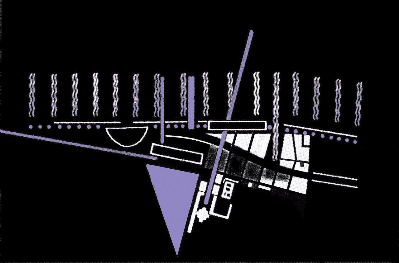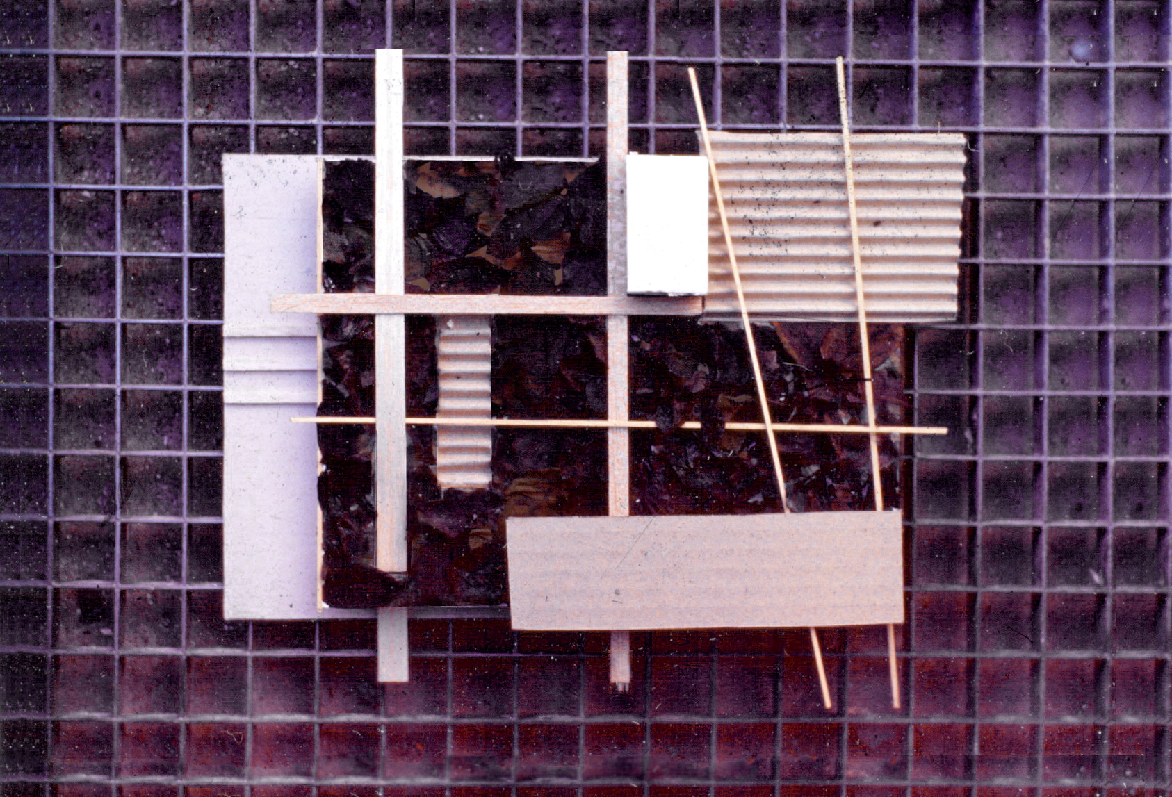
New Belgrade City Park has a privileged position along the Danube: it connects the city blocks with the river and, as a communication and landscape axis, ties the Old Town, New Belgrade and Zemun (image 1) by the optimism carried in the notion of the Friendship Park. Its reactivation would serve not only to a higher quality of life in the city, but also as an excellent means of urban marketing – both for the world and for the citizens.
The return of direct contact with the coast and the water in the waterfront regenerations worldwide opens up here additional topics: the renewal of the concepts of progress and modernity, the preservation and construction of public space as the last defence of Homo Ludens before privatization, and the creation of a positive image for Belgrade.
The key for activation of the Park of Friendship lies in its better relationship with the city. This study shows both the necessity of new pedestrian bridges and alternative ways of transportation and the absence of content and structure in the expansive green space, vast enough to accommodate not only the Amsterdam Museumplein, Museumpark in Rotterdam or the new cultural district of Saadiyat Island in Abu Dhabi, but also the Sydney Opera House together with the Governor’s residence and the Sydney Botanical Garden, or the whole National Mall in Washington (image 2).
The concept of the Friendship Park, as a park which connects, amplifies the existing invisible Art Park and proposes the creation of a museum cluster around the Museum of Contemporary Art, emphasizing the cultural dimension of the park. It would increase its impact, and become a generator of new flows – urban, museistic and touristic, but also of a significant economic gain for the city: Public space generates optimism, and cultural production and consumption economic revitalization (images 3 and 4).
The study goes beyond the limits of the Park and situates it in the museum system of the city. The definition of a museum is broad, and includes conventional museum institutions, as well as monumental sites, zoological and, botanical gardens, and protected historical and natural systems. This means that Belgrade, although not aware of that, has its Museum Island, albeit called the Great War Island, to preserve and find a way to include it in the city and its educational offer, carefully and with all the safeguards. In the Kalemegdan Park, around the homonymous fortress, a Museum Park has been formed, powered by the flows of the streets of Knez Mihaila, Vase Čarapića and Uzun-Mirka, where many Belgrade museums, libraries, cultural centres and other cultural and educational institutions concentrate (image 5).
With the renewal of the Park of Friendship and the new museum and other cultural contents, this precious green gesture would gain, in addition to nature, recreation and leisure, another emphasized new dimension and identity, and would become a museum coast that connects the two historic town centres and their former fortresses, Kalemegdan and Gardos, as a part of the heroic urban structure of New Belgrade, whose identity and urban matrix also should be protected, restored and dutifully presented as an architectural and urban heritage and a museum of the same modern urbanism on which of Brasilia bases its fame.
The opportunity to transform former industrial buildings in Dorćol marina into museums (an interactive museum of science and technology, a museum for the diffusion of new communication and technology) and extend this MUSEUM COAST is missed, and now we are facing careful monitoring of the development of the Port “Belgrade” and integration of the future Museum of Science and Technology (MNT) in these flows.